
As full-time RVers, we love to travel and explore. And exploring Damascus and biking the Virginia Creeper Trail was on our must-do list. Damascus is a small town in Virginia well known for its’ friendliness and relationship to hiking and the Appalachian Trail.
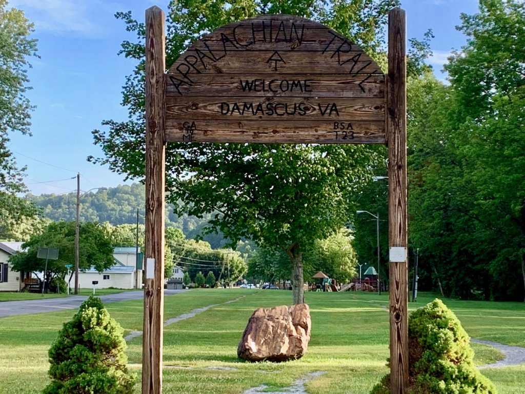
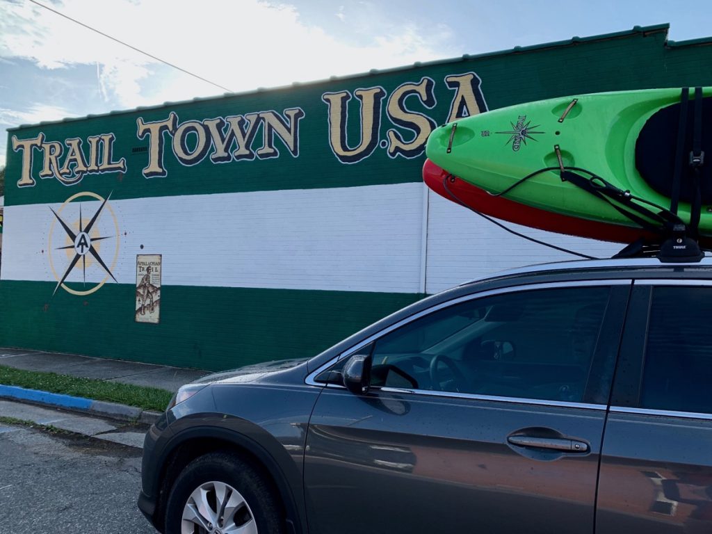
With multiple hiking and biking trails available, Damascus is commonly known as Trail Town, USA. Click here for more information on the AT.
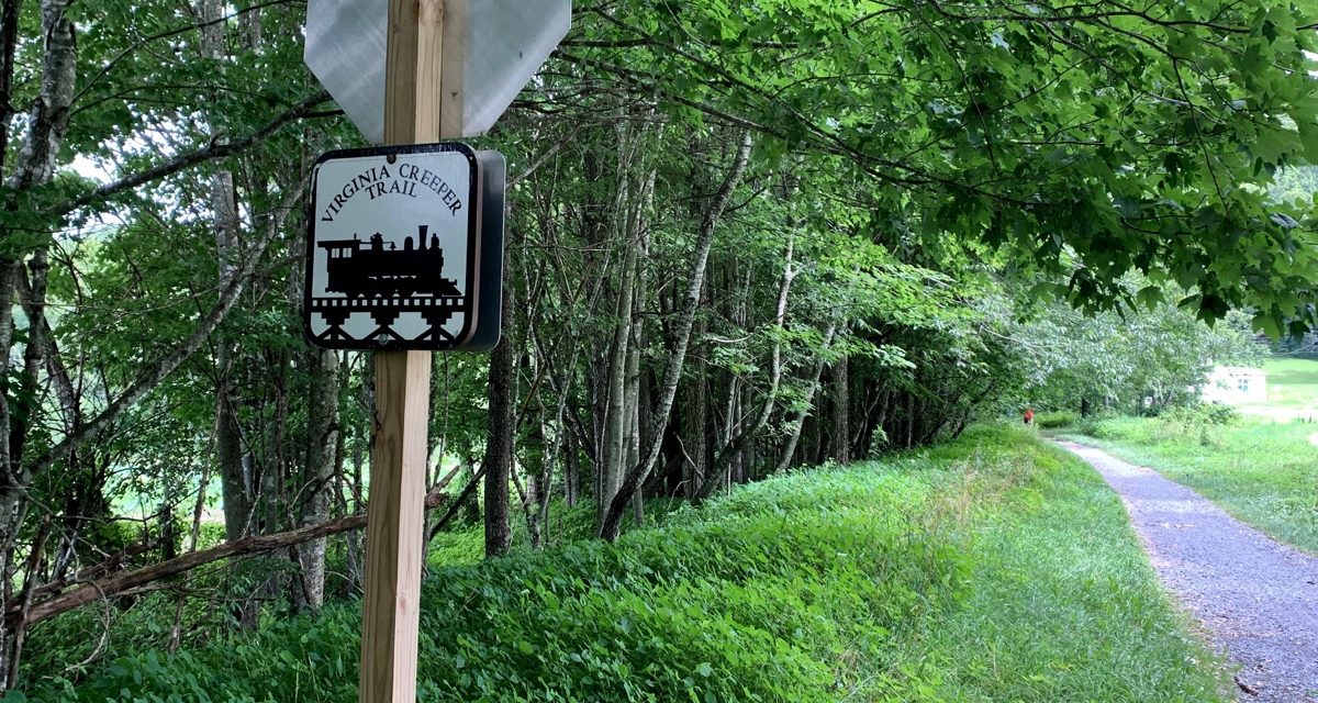
As much as we love hiking, our goal was biking the Virginia Creeper Trail and exploring Damascus. The Creeper Trail is part of the National Rails-to-Trails Conservancy and is a scenic destination biking trail. You can find more details about biking the Virginia Creeper Trail here.
Watch our video to see how we pack up our RV and then head to Virginia.
What Inspired Us to Explore the Trail?
The Virginia Creeper Trail is a picturesque path that is not only beautiful but historical. The trail, built along the foundation of the Norfolk and Western rail line winds its’ way through the Mount Rogers Recreational Area.
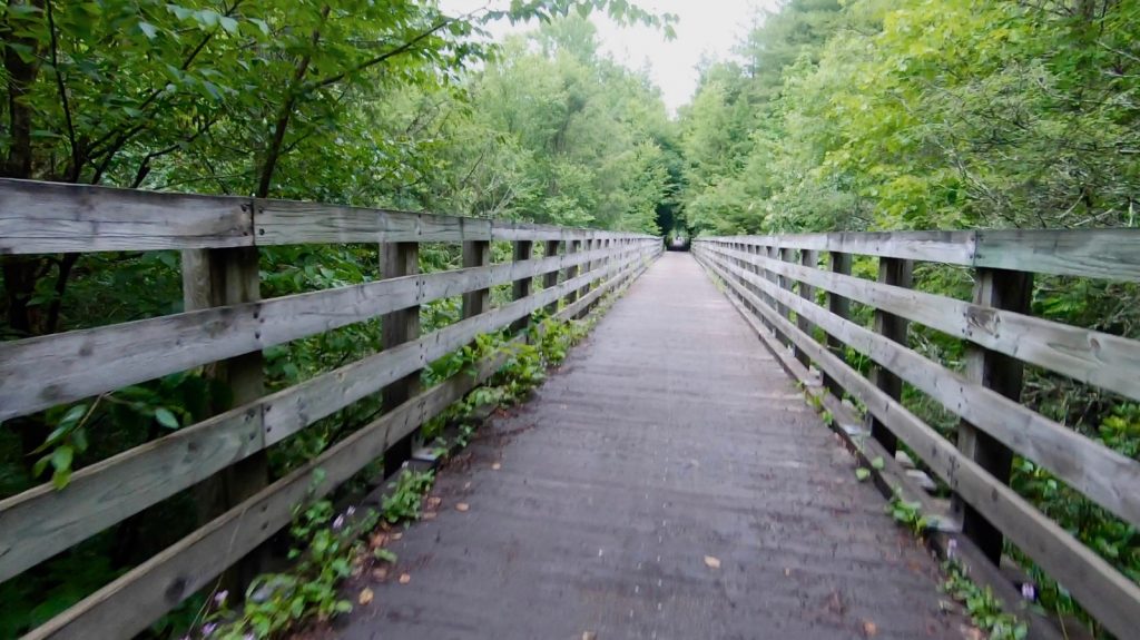
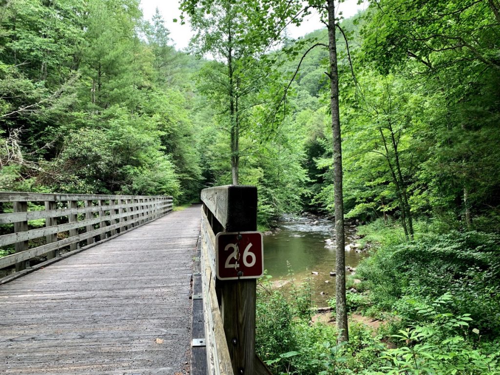
A trestle bridge along the Virginia Creeper Trailer, Whitetop Station Section.
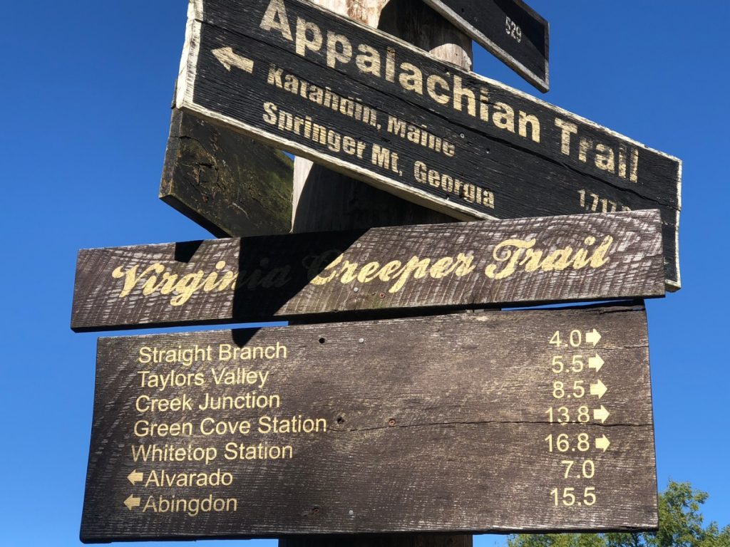
At 34 miles long, the Creeper trail scenery and natural beauty are captivating. The trail runs from Whitetop Station to Abingdon, Virginia. The entire route can be biked all in one day, or broken into two separate rides. We opted for the thrill of the downhill route of Whitetop Station into Damascus. Others we talked to at the outfitter store chose the Damascus to Abingdon ride. We want to bike the Abingdon section of the trail in the future. You can find more information about the Abingdon section of the trail here.
Tips for Biking the Virginia Creeper Trail
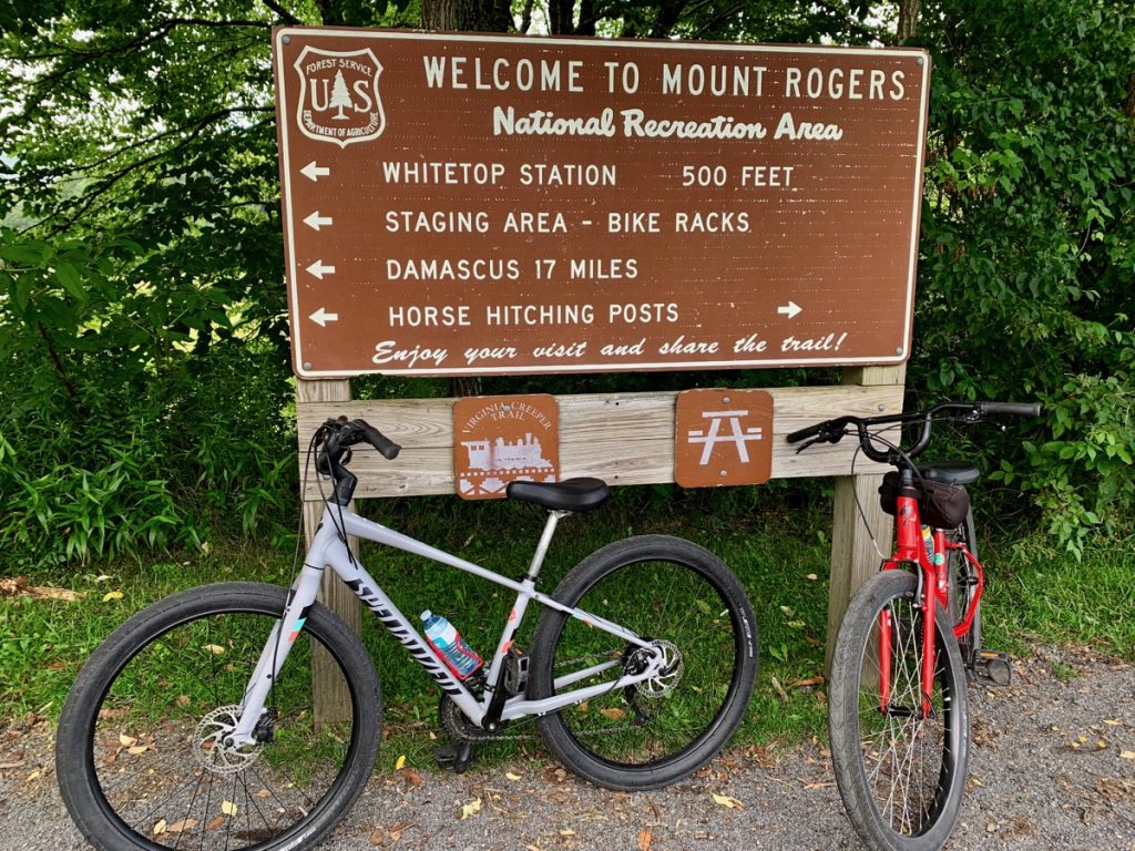
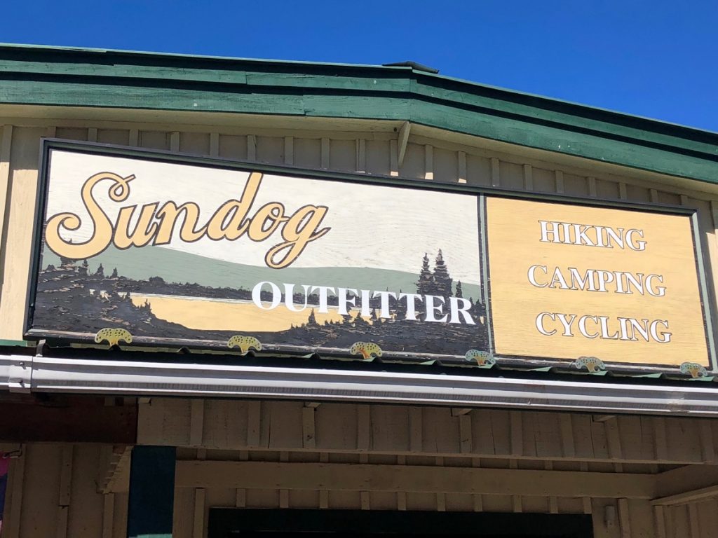
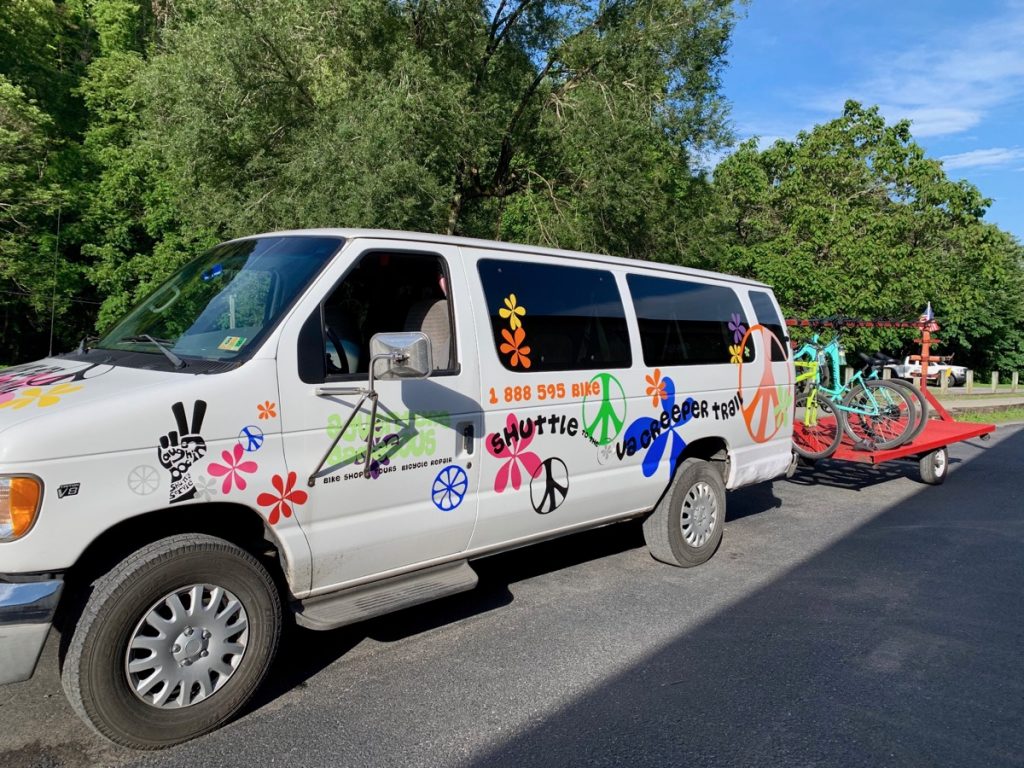
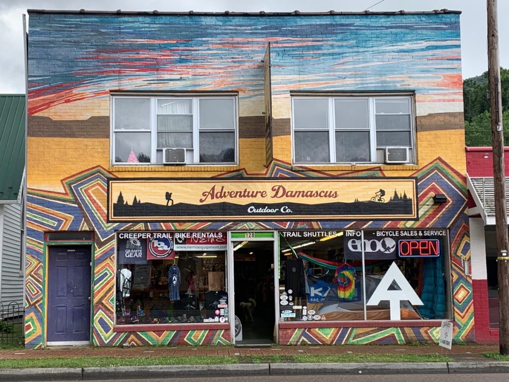
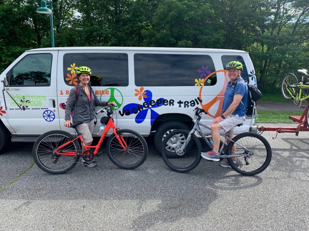
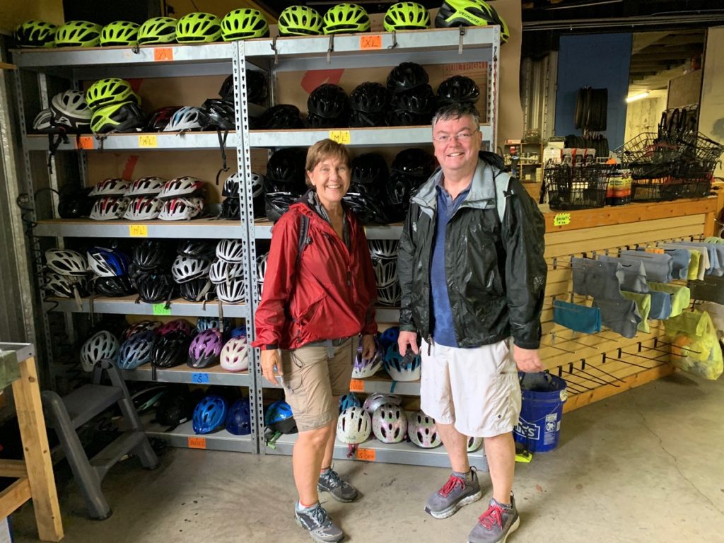
Check the weather first so you can plan accordingly. We knew we would start our ride with great weather, but heavy rain and thunderstorms were predicted for later in the day. So we knew we’d need to keep moving. We took our daypack, snacks, rain jackets and water. Make your trip to the Whitetop section of the trail run smoothly and select one of the local bike rental-shuttle outfitters. We chose SunDog Outfitter. They are located a short walk from Laurel Creek RV Park campground.
Bike rental and shuttle available at SunDog Outfitter.
Campground Details
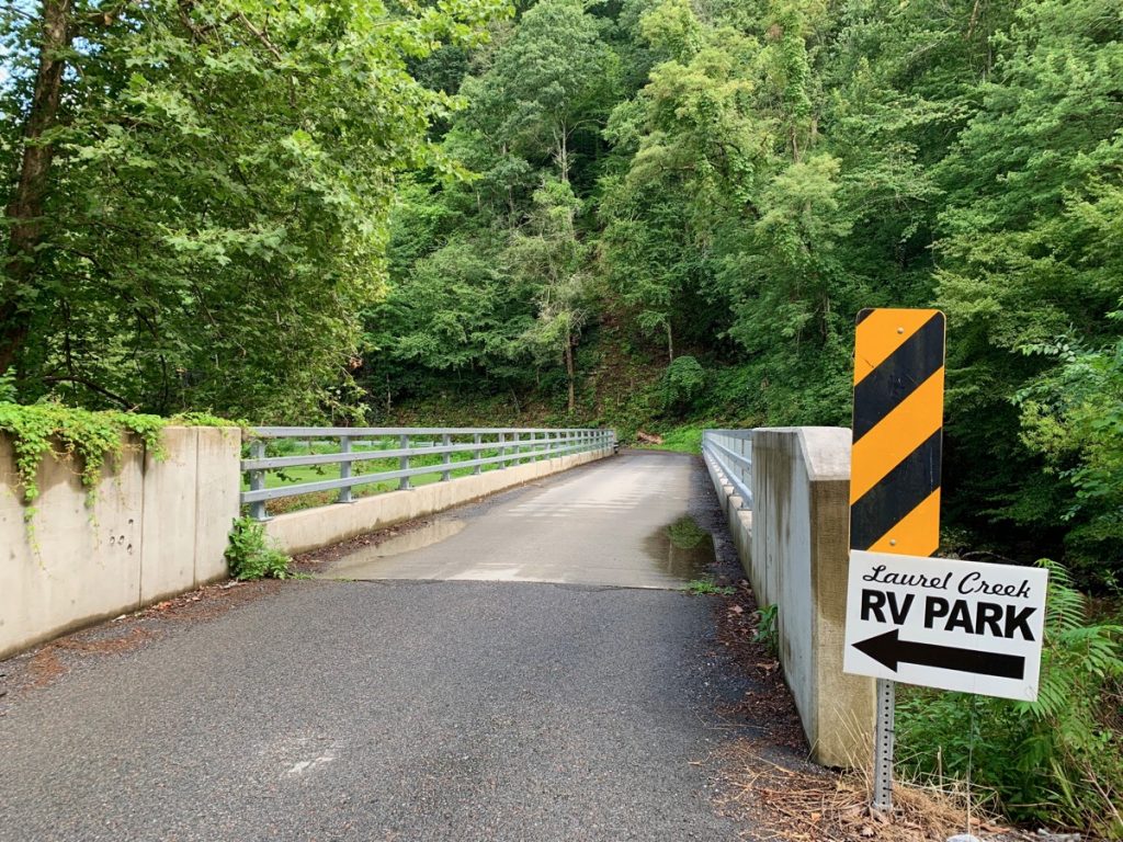
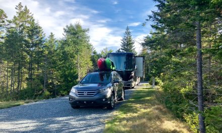
Laurel Creek is a tiny RV campground (15 full hook-up sites) perched along the Laurel Creek. You can find more campground information here. There are no tent sites. Be advised, the bridge on the road to the campground is narrow. In other words, be careful and take it slow. We crossed the bridge in our 40 ft Motorhome which wasn’t too bad, but leaving is a different story. It is a bit of a nail-biter since the turn is very tight for longer RVs. If you go, take it slow and have a spotter as you exit.
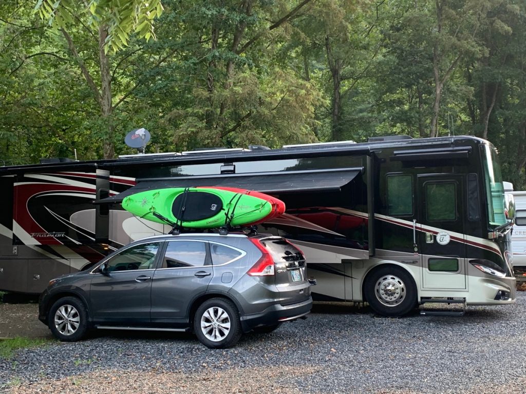
Our campsite below, small, but the location is awesome for walking into town.
Exploring Damascus
The absolute best thing about the campground is its proximity to town. You can walk to everything. There are a few local restaurants that we enjoyed. We loved Mojos Café and Seven Trails, Grill. The food was home-cooked at both and delicious. You can also walk to several outfitter stores. They have everything from cool outdoor gear to artisan crafts, and the best t-shirt collections we have seen. These well-stocked stores are fun to wander through!
Getting Ready for the Ride
We left the campground early in the morning and walked to Sundog Outfitter to check in at around 9 am. We wanted to get an early start due to the chance of storms later in the day. At Sundog, we purchased the ½ day package, which was 27.99$ per person. This fee included bike rentals, helmets, and in addition, breakdown kits, as well as the 25-30 minute shuttle to the top at Whitetop Station. The road is a windy, mountain road, if you are prone to motion sickness, sit in the front of the shuttle bus.
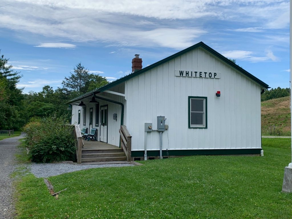
When the shuttle driver drops you off, you are at the top of Whitetop Station, which is 3500 feet in elevation. Here we are at Whitetop Station excited about our ride! We would be riding the trail 17 miles down to Damascus, which is at about elevation 1900 feet. With an elevation drop of 1600 feet, we couldn’t wait for the fun downhill to begin!
Details About the Trail
The trail itself is dirt. However, it was in excellent condition for our ride. After recent rains, there were a few washed out areas, but they were small and easy to avoid. The path is easy in terms of the degree of difficulty and would be an enjoyable ride for bikers of all skill and fitness levels. The trail is well marked and easy to navigate. Typically, biking the Virginia Creeper trails takes about 2 to 3 hours to bike from Whitetop down to Damascus. If you stop along the way to take photos, allow more time.
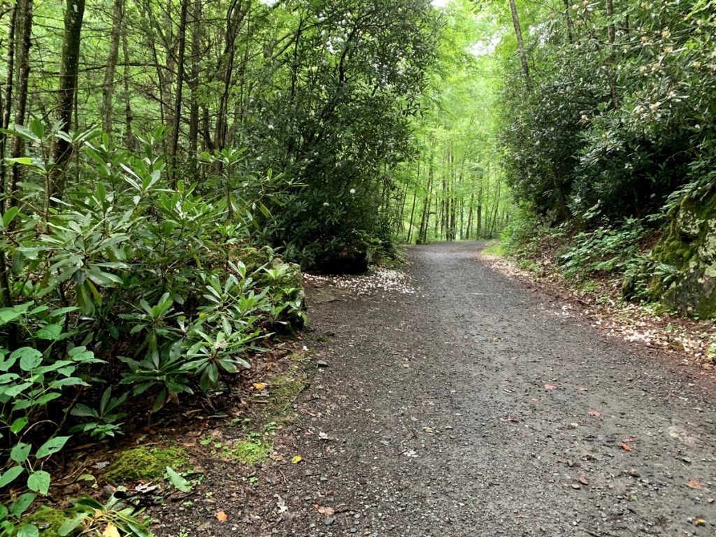
Biking the Virginia Creeper Trail, view of the trail and scenery along the way.
What Do You See Along the Way?
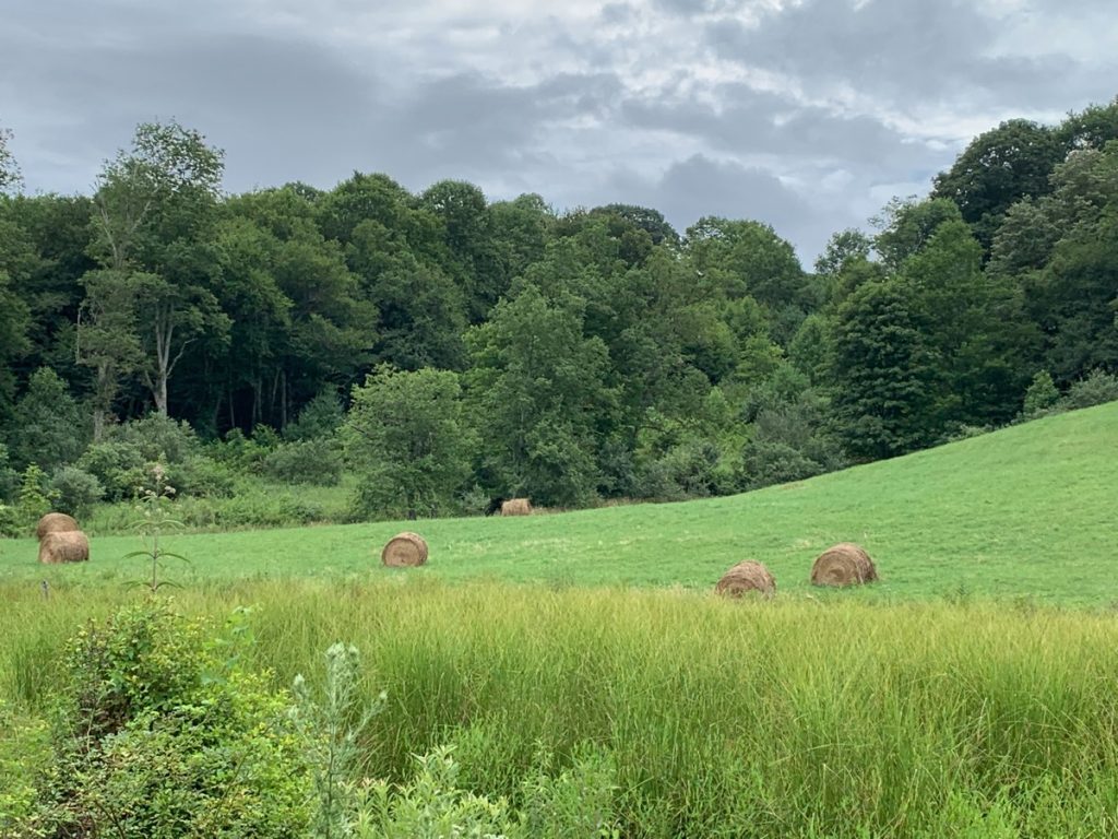
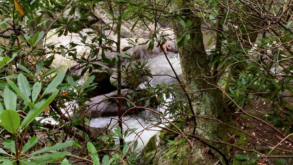
The Creeper Trail is gorgeous and meanders past fantastic scenery. We passed open fields with long-range views, Christmas tree farms, and rushing streams. There are small waterfalls and unique rock formations as you bike along.
One of the coolest parts of the trail is riding over the trestle bridges along the way. There are 50 trestle bridges on the entire trail. Each one is numbered and varies in length. It is so much fun to ride over these bridges, and you’ll enjoy the views of babbling brooks and streams. It’s hard to put into words what a beautiful ride this is.
A Little History Lesson
There is quite a bit of history associated with the rail lines and the Creeper Trail. Also, one of our coolest discoveries was the railroad depot stop called Green Cove Station. You can find more history information here.
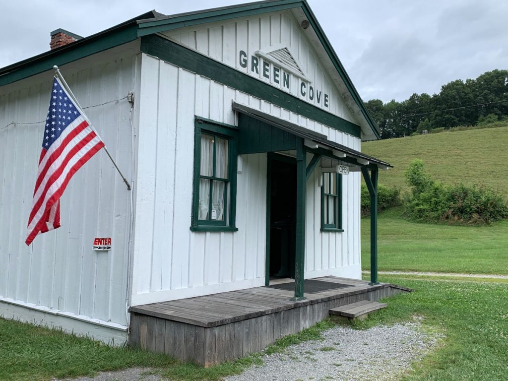
Green Cove Station dates back to 1914 and is the only remaining railroad depot building on the Creeper Trail. At that time, it served as the Post Office, General Store, and Freight office and was a gathering place for the community. It is staffed by volunteers today and contains the original inventory that was in the store when it closed in 1977.
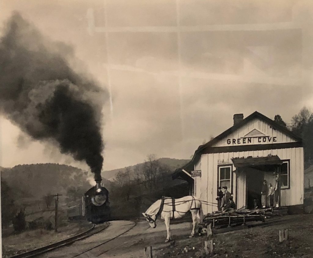
This photo “Maude Bows to the Virginia Creeper is by famous photographer O. Winston Link. The photo juxtaposed an old way of life with oncoming changes brought by the steam engine — Copyright History Museum of Western Museum.
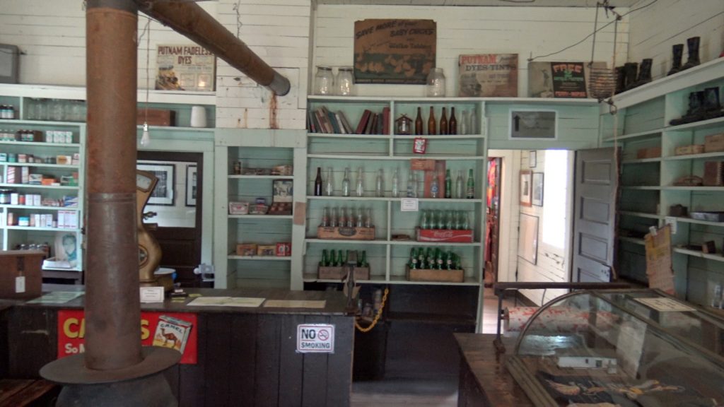
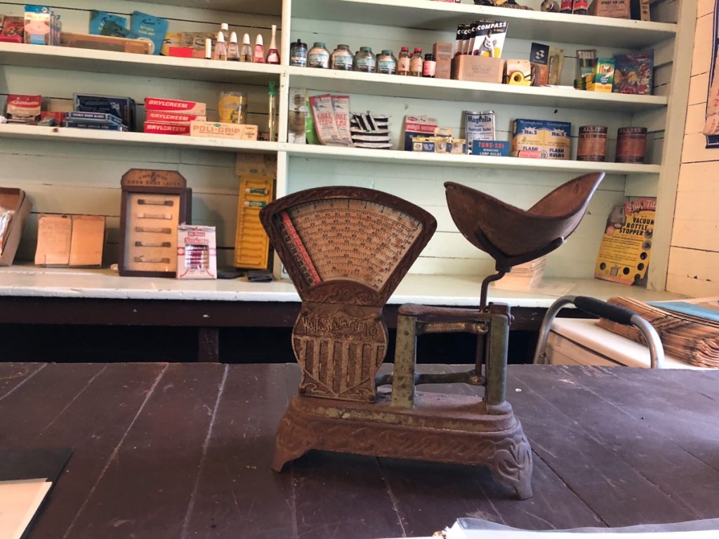
A look inside Green Cove Station today and some of the original inventory that was in the store at the time of its’ closing.
We spoke to a volunteer who shared the history of the railroad depot with us. In addition to getting a history lesson, Green Cove Station is an excellent stop for a quick water and bathroom break before you continue down the trail.
Why Is it Called the Creeper Trail?
Due to the slow speed at which steam engines crept up the mountainside with heavy loads of iron ore and other goods, locals referred to them as Virginia Creepers. However, others say the name was taken from the native plant, Virginia creeper that grows along the railroad route. More here.
We had a wonderful time in Damascus. The town is charming, the people are friendly, and the scenery is beautiful. And riding the Creeper Trail was one of the most fun things we have done to date. We will be back. The weather changed pretty dramatically toward the end of our ride, but we still had a blast. Caught in a crazy storm, we got drenched, but we are smiling!
Want More Info About Biking the Virginia Creeper Trail?
Here is an informative Q&A document from SunDog Outfitters website.
We don’t have any connection to SunDog other than the fact that we used them as our rental-shuttle company and had a great experience with them in every way! If you visit, we hope your Creeper Trail ride and visit to Damascus is as fun as ours was.
For more information about full-time RVing and the story behind what made us decide to travel and live full-time in an RV, click out our video here.
All Photographs by Angie Kuklinski unless otherwise credited.
What a beautiful ride even though you were dripping at the end.
Thank you, it was so much fun! It really poured. But the ride down the mountain was really breathtaking! All our best to you.